

 deutsche Version

Geocaching in Gastein
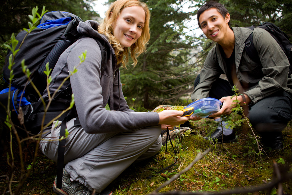
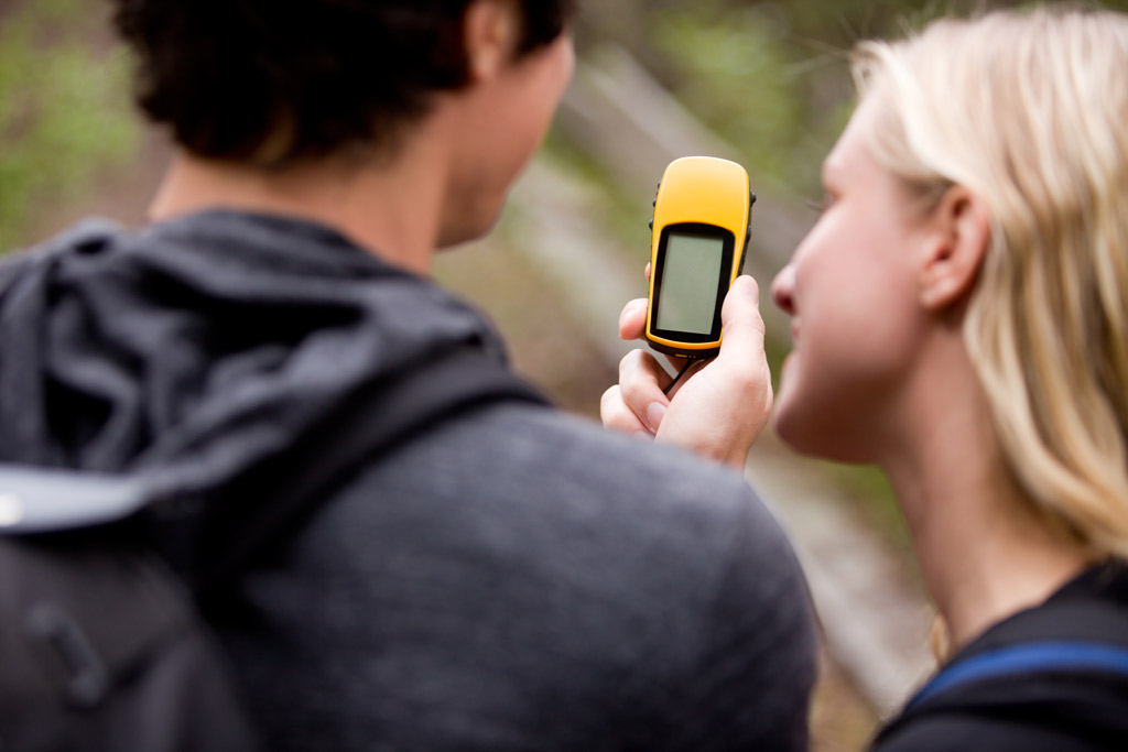
Geocaching is becoming more popular with us. We have become quite passionate about this and would like to introduce it to our guests. One doesn’t really need much and one has a great programme for the whole day. Simply try it out & for the start we will give you GPS-devices to borrow.
Whilst some people do geocaching as an additional incentive to their athletic hiking, simply use the charm of searching for treasure to move your children (or yourself ;-).
What is Geocaching?
Geocaching can best be described as a real-world, outdoor treasure hunting game using GPS-enabled devices. Participants navigate to a specific set of GPS coordinates and then attempt to find the geocache (container) hidden at that location.Then something is taken from the tin, your visit is logged and the tin is hidden at the same place again- for the next person.
Why do children find Geocaching so fascinating?
The fascination is difficult to sum up, as different as kids are, as diverse the landscape in which the geocache are hidden, so different are the geocache types:
- The "easy" geocache (traditional- geocache), were the position of the hiding place is directly given.
- "Multistage" geocache (multi- geocache or offset- geocache) with several hiding places, with a hint for the next location.
- "The puzzle" geocache (mystery- geocache), which requires an investigation or brain teaser beforehand.
- "Virtual" geocache (virtual geocache), with neither a container nor logbook.
- "Night" geocache (night-" geocache) can only be looked for & found during the night.
Well, and all these geocache lie scattered around the world (in Austria there are appprox. 2,000 geocache....) that are waiting to be found, also in Gastein!
Where does Geocaching come from?
The first known "Geocaching" was done by Nuuksion Metsäsissit in the 1980s, in the area around Helsinki/Finland, with only the help of a map and a precision of about 10 metres.
In the 1990s GPS devises were used to get the co-ordinates.
"Look for a black buried plastic box" was on the internet on the 3rd May 2000. "Take something & leave something behind! Note everything in the logbook! Have fun!"
Dave Ulmer from the US state of Oregon buried a watertight plastic container with videos, books and a few things in a forest near Portland and put the co-ordinates in a newsgroup- discussion forum on the Internet.
Mike Teague was the first geocache. Three days later he found the hiding place and was so inspired, that he started a site on the internet, outside of Seattle, Washington. He recognised the possibilities of the game and provided, in co-operation with Mike, an internet that used the term "Geocaching" for the first time, using maps and log possibilities to simply manage the geocache. On the 6th September, 2000 the site (www.geocaching.com) officially went over to Jeremy Irish.
The treasure hunter uses GPS signals. GPS means worldwide positioning system. It is a system of 24 satellites, used by the US ministry of defence.
In July, 2000 Jeremy Irish saw the web page of Mike Teague and as a result found his first geocache. At first the signals were distorted, so that a person could only determine his location to the precision of approx.100 metres. On May 1st, 2000 the distortion was lifted (from the Clintons government). Now everybody can determine their geographical location up to 10 metres. With a few tricks you can even get your position up to 1 metre.
"Cache" means "secret camp", concealed hiding place.
- There is more information on the homepage of the Austrian geocacher: www.geocache.at
- Important abbreviations with geocaching: www.geocaching.de

